")
|
Getting your Trinity Audio player ready...
|
By Mary Mwendwa
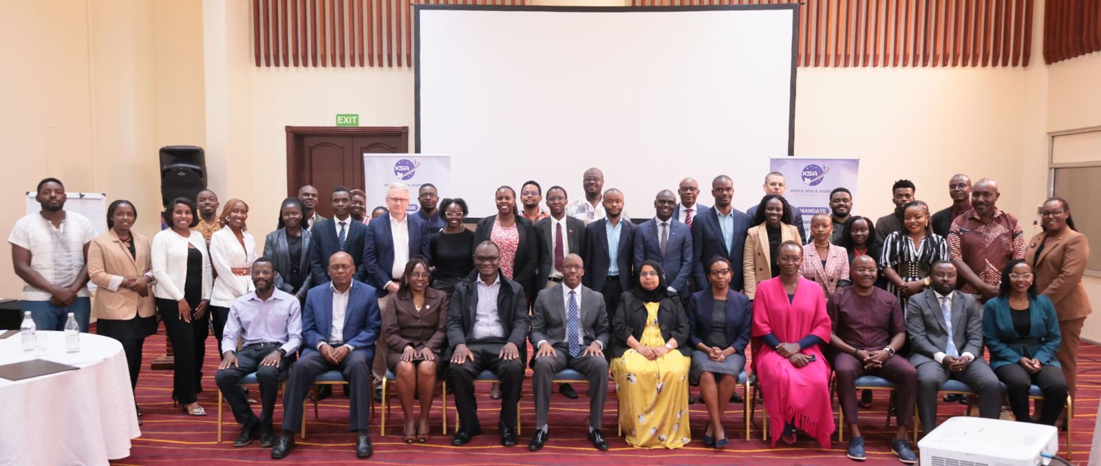
Nairobi, Kenya: Kenya has taken a significant step toward improving how it collects, shares, and uses satellite and geographic data with the creation of a new national council. The National Earth Observation Data Council (NEODC) was formally established on March 23, 2026, following the adoption of the Malindi Declaration by key government and institutional stakeholders.
The new council is designed to serve as the main governing body for Earth observation data in the country. Earth observation data refers to information gathered from satellites and other remote sensing technologies that help monitor land, weather, water resources, urban development, and environmental changes. By bringing together multiple government agencies, academic institutions, private sector players, and international partners, the NEODC aims to make this data more accessible and useful for national development.
Chaired by the Kenya Space Agency, the council will oversee the implementation of the country’s Earth Observation Data Sharing Framework 2026. This framework sets out how different organizations can share and use geographic and space-based information in a way that is open, secure, and aligned with national laws. It also ties into the United Nations Integrated Geospatial Information Framework, a global guide that helps countries manage and use geographic data effectively.
The establishment of the council reflects Kenya’s broader efforts to use technology and data to drive progress in key areas such as agriculture, infrastructure, disaster management, land use planning, and environmental protection. The initiative aligns with major national development plans, including Kenya Vision 2030, the Bottom-Up Economic Transformation Agenda, the Digital Economy Blueprint, and existing laws such as the Data Protection Act and the Statistics Act.
The vision behind the NEODC is straightforward: a Kenya where decision-makers at all levels have access to reliable and up-to-date information to guide policies, investments, and emergency responses. The council’s mission is to provide leadership, encourage cooperation across sectors, and make sure that Earth observation data is shared smoothly and used ethically.
To achieve this, the council has outlined several core goals. These include securing support and resources for Earth observation projects, strengthening the roles of institutions that produce and use such data, and pushing for the official recognition of key data themes that are essential for planning and development. It also aims to create systems that make it easier to find, access, and reuse data across different organizations, while ensuring that all data use respects privacy and ethical standards.
The governance structure of the NEODC is designed to be inclusive and balanced. The executive members, who provide strategic leadership, include the Kenya Space Agency, which also serves as the chair and secretariat, the Kenya National Bureau of Statistics, the Survey of Kenya, the National Land Commission, and the Directorate of Resource Surveys and Remote Sensing. These institutions form the core of the country’s geospatial and data management efforts.
In addition, a wider group of members will support the council’s work through operational subcommittees. This group includes the Council of Governors, the Independent Electoral and Boundaries Commission, the ICT Authority, the Kenya Meteorological Department, the Kenya Bureau of Standards, the Konza Technopolis Development Authority, and the Office of the Data Protection Commissioner. Professional bodies, universities, private companies, security agencies, civil society organizations, development partners, and United Nations agencies are also part of the broader membership.
The adoption of the Malindi Declaration marks a formal commitment from all these institutions to work together in a coordinated and transparent manner. The signing ceremony brought together representatives from the founding institutions, signaling unity on a matter that has often been handled in fragmented ways across different departments and levels of government.
Speaking at the event, the acting Director-General of the Kenya Space Agency, Brigadier Hillary Kipkosgey, thanked stakeholders for their support in developing the data-sharing framework. He emphasized that the focus must now shift to implementation and expressed readiness to work with all relevant government agencies to make the initiative a success.
Dr. Jacqueline Owigo, Research and Innovation Adviser at the British High Commission in Kenya, spoke on behalf of the High Commissioner and commended the milestone. She noted the growing importance of Earth observation data and the need for systems that build trust while allowing innovation to flourish. She said the framework shows a strong commitment to governance that enables progress while protecting national interests. She also highlighted the importance of international partnerships, noting that the United Kingdom continues to work with countries like Kenya through institutions such as the European Space Agency and global research collaborations.
Other speakers who voiced their support included Eric Nyadimo, President of the Institution of Surveyors of Kenya; Husna Mbarak from the Food and Agriculture Organization of the United Nations; Jacinta Gitau, Deputy Director for Land Administration and Management at the National Land Commission; and Dr. Charles Situma, Director at the Directorate of Resource Surveys and Remote Sensing.
The Kenya Space Agency developed the Earth Observation Data Sharing Framework 2026 in partnership with the British High Commission, the Research Institute for Innovation and Sustainability, and VIFFA Consult. The principles guiding the framework include transparency, collaboration, and a focus on long-term sustainability.
With the NEODC now in place, Kenya aims to position itself as a regional hub for the innovative use of space and geographic data. The council is expected to begin its work immediately, with a focus on building cooperative systems, encouraging data sharing, and ensuring that the benefits of Earth observation reach ordinary citizens through better services, improved planning, and more resilient communities.


